Topsfield Trails
The following trails are located in Topsfield. Links are provided to external sites with information and maps.
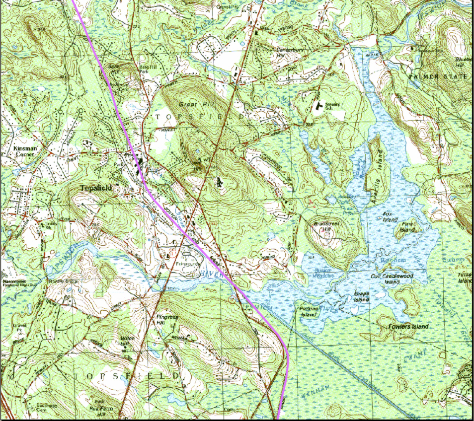
| Peabody - Danvers - Wenham - Topsfield - Boxford (map) |
Bradley Palmer State Park |
Bradley Palmer State Park |
|
Ipswich River Wildlife Sanctuary |
Pye Brook Park |
Salem Beverly Canal |
Topsfield Linear Common - Rail Trail |
Topsfield Town Forest |
Willowdale Meadow Reservation |
Willowdale State Forest - East |
Willowdale State Forest - West |
| Essex Country Trails Association (ECTA) has maps throughout Essex County | Topsfield map can be purchased at the Topsfield Bicycle shop www.biketops.com/. |